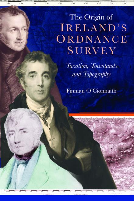
The origin of Ireland’s Ordnance Survey
Taxation, townlands and topography
Finnian O'Cionnaith
Since 1824, the Ordnance Survey (now Tailte Éireann and OSNI) has become the essence of cartographic accuracy in Ireland, documenting the ever-changing relationship between people and the environment. Though it has left a detailed and invaluable historical record in its wake, the story of its foundation is, however, less well-known. This book brings to life the fascinating primordial days of the Ordnance Survey of Ireland. In doing so, it delves into the politics, technical logic and complex post-Union social issues that shaped the survey. Initially called upon to aid land-based tax reform, its specifics soon became a source of disagreement between Irish MPs and the imposing figure of Arthur Wellesley, the duke of Wellington. In finding the survey’s most suitable path, the island’s colourful and often painful history with mapping was exposed, and a new course was set for its cartographic future.
Finnian O'Cionnaith is a qualified land surveyor with a strong interest in the early history of the profession. He completed his PhD in History at Maynooth University in 2011 and has written several books on the history of land measurement in early-modern Ireland.

