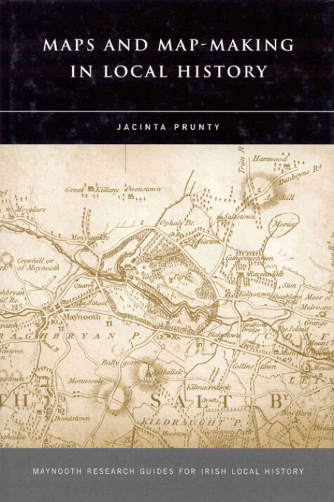
Maps and Map-Making in Local History
Jacinta Prunty
This book aims to introduce the local history practitioner to the world of maps – the special character (and appeal) of maps as an historical source, why they are invaluable in local history research, and questions that must be asked of them. The historical background to map creation in Ireland is outlined, with details on the major classes of cartographic and associated material and the repositories wherein they may be found. The Plantation series, travel and county maps, maps as part of published reports and journals, military mapping, estate and property mapping, and maritime maps, historic Ordnance Survey and Valuation Office maps, and more recent OS mapping, including the 1:50,000 Discovery series, are discussed.
However, this book isn't simply of relevance to Ireland. There's a section on essential map reading skills, including matters of scale, representation and accuracy, that will help equip the researcher to explore this coded world. Step-by-step guidance is provided for locating maps relevant to one's study area. And finally, case studies of working with maps in local history are offered as practical examples of what can be done, and guidelines for map-making are also included.
Jacinta Prunty lectures in NUI Maynooth. She is the author of the award-winning Dublin slums, 1800-1925: a study in urban geography (Irish Academic, 1998) and Margaret Alyward, 1810–1889: lady of charity, sister of faith (FCP, 1999).

